
Golden Valley ZIP Code Directory Coverage
Four confirmed ZIP codes are associated with Golden Valley: 55416, 55422, 55426, and 55427. They are postal service areas, not municipal-boundary lines. The research establishes that each has a multi-city context, so the table identifies the documented postal connection rather than inventing neighborhood borders. This record path is most reliable when each mailing result is checked against the complete street address and then against the Hennepin parcel record.
| ZIP | Areas covered | Post Office | Notes |
|---|---|---|---|
| 55416 | Confirmed ZIP associated with Golden Valley; shares a multi-city mailing context | USPS location results list nearby Elmwood at 5100 West 36th Street | Confirm the full address and municipality |
| 55422 | Confirmed ZIP associated with Golden Valley; crosses city lines | Use USPS full-address lookup for the serving mailing result | Do not read the ZIP as a city boundary |
| 55426 | Confirmed ZIP associated with Golden Valley; shares a multi-city context | USPS location results list Saint Louis Park at 2700 Louisiana Avenue South | Check situs and jurisdiction after the postal result |
| 55427 | Confirmed ZIP associated with Golden Valley; crosses city lines | Golden Valley Station, 7701 Golden Valley Road, uses a Minneapolis 55427-9998 mailing line | “Minneapolis” does not by itself rule out Golden Valley |
USPS does not publish a complete historical boundary or preferred-city-label timeline in the material reviewed. Preserve the original mailing line for historical work, then test the address, municipality, PID, and legal description in the county systems.
Golden Valley ZIP Code Mailing Lines
Golden Valley is a first-ring Hennepin County city surrounded by incorporated communities, which is why a mailing label can differ from the municipal identity. The official Golden Valley station record places the station on Golden Valley Road but shows a Minneapolis mailing line. That fact is a mailing convention, not a contradiction in the street location. The same caution applies to directories, tax records, newspapers, and other sources that group suburban places under a publisher’s or mail carrier’s city label.
The USPS Golden Valley station listing is the documented source for the station and its mailing line.
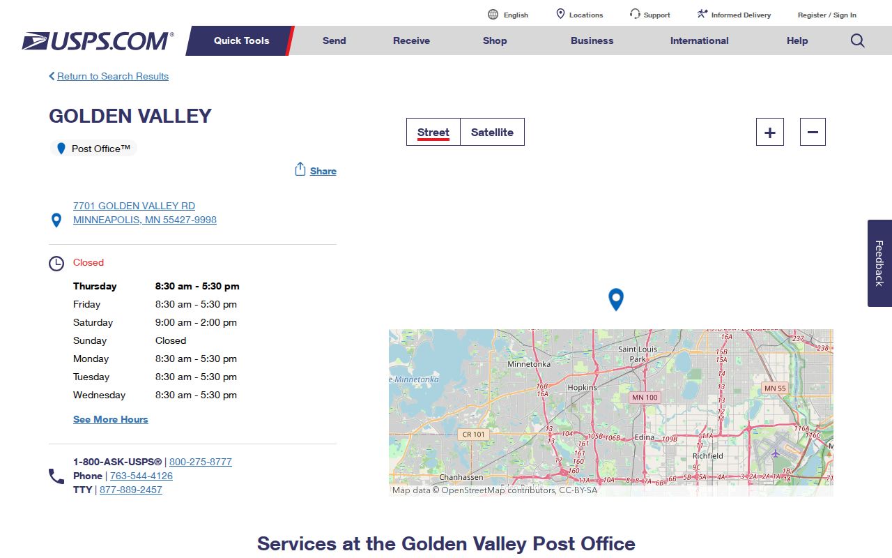
The station result is a useful reminder to keep the postal line and the local jurisdiction as separate fields in a research log.
Note: A USPS city name directs mail and does not establish a parcel’s municipal jurisdiction or legal description.
Verify Golden Valley ZIP Codes
Start with the official full-address tool, not a partial ZIP search. Enter the complete street address in USPS lookup and save the returned city, state, and ZIP combination. This step is especially important when the address is near a boundary, when a record says Minneapolis, or when an older source uses a road variant. The lookup narrows a mailing question; it does not replace county records for parcel, ownership, or boundary work.
The USPS ZIP Code Lookup shows the complete-address route used to confirm a city and ZIP response.
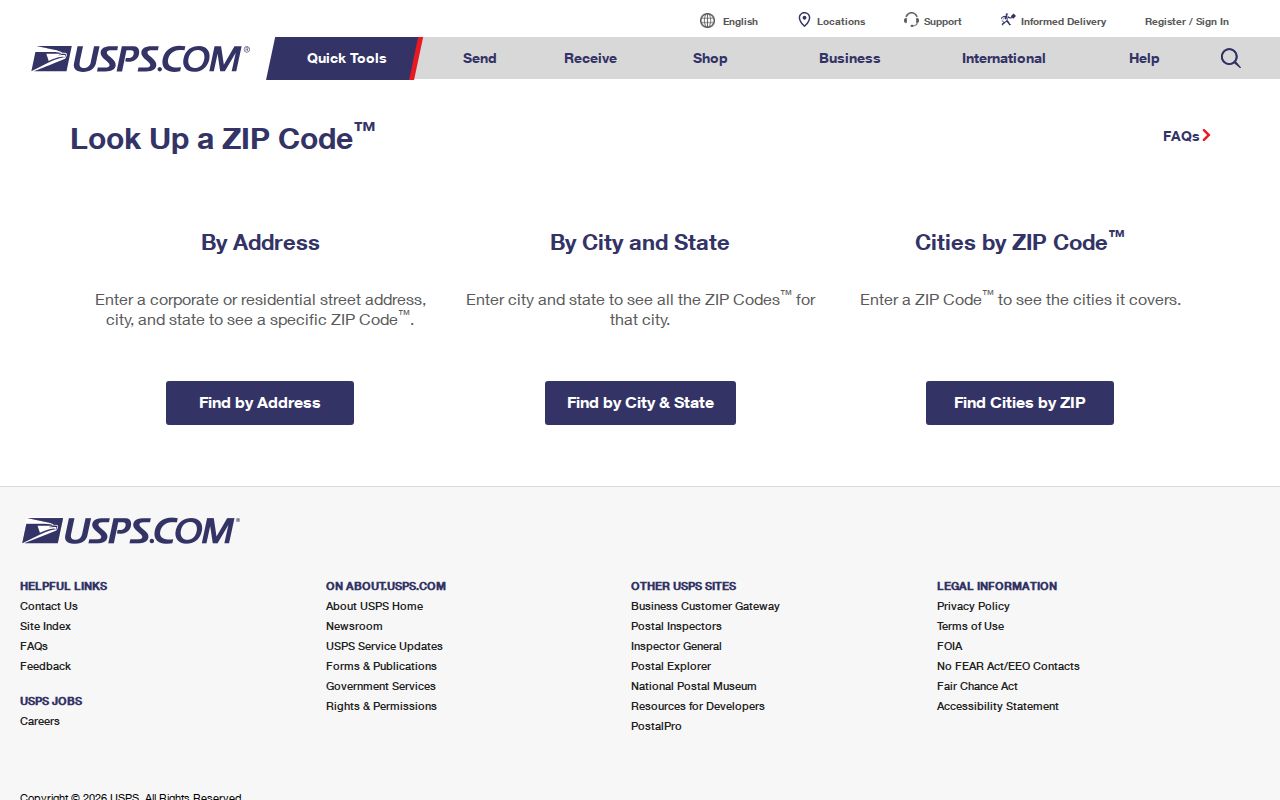
After a postal result returns, save the original format and move to a county address search rather than converting that result into a ZIP-wide list.
Note: Preserve the returned mailing line even when later parcel research supplies a different municipal label.
Find Records in a Golden Valley ZIP Code
The full-address sequence is the reliable path from a ZIP area to a local record. Hennepin’s assessor tool has no ZIP-wide mode. It requires an address, PID, or addition name. The GIS viewer supplies parcel context but its live filter schema was not confirmed in the research. The Recorder is then searched by the legal description and owner or entity names, not by ZIP. This keeps a postal lead from being mistaken for a parcel match.
- Run the complete address through USPS and retain the returned mailing city and ZIP exactly as displayed.
- Enter the house number and street into Hennepin County Property Information Search. Retry documented abbreviations, direction placement, or a unit when needed.
- Copy the 13-digit PID and legal description, then check the parcel in the Hennepin County Property Map for spatial and municipal context.
- Use the legal description and owner or entity names in the Hennepin Recorder research route for deeds, plats, certificates, and other instruments.
- Request city permit or planning records by address, PID, and date range when the question concerns municipal work rather than land title.
Once a ZIP has been narrowed to an exact street address, the Golden Valley by-street directory has the fuller address-record sequence.
Golden Valley Parcel Checks After ZIP
The assessor result is where a postal address becomes a county parcel lead. Hennepin’s address mode requires house number and street name, with an optional unit. The result may show the PID, legal description or addition and lot and block, owner or taxpayer display, mailing and situs addresses, tax, assessment, and sales context. Its database is updated daily on business nights, but it does not document an owner-name search. A PID, not the ZIP, is the stable key for the next stage.
The Hennepin property-information gateway is the official entry point for that county parcel check.
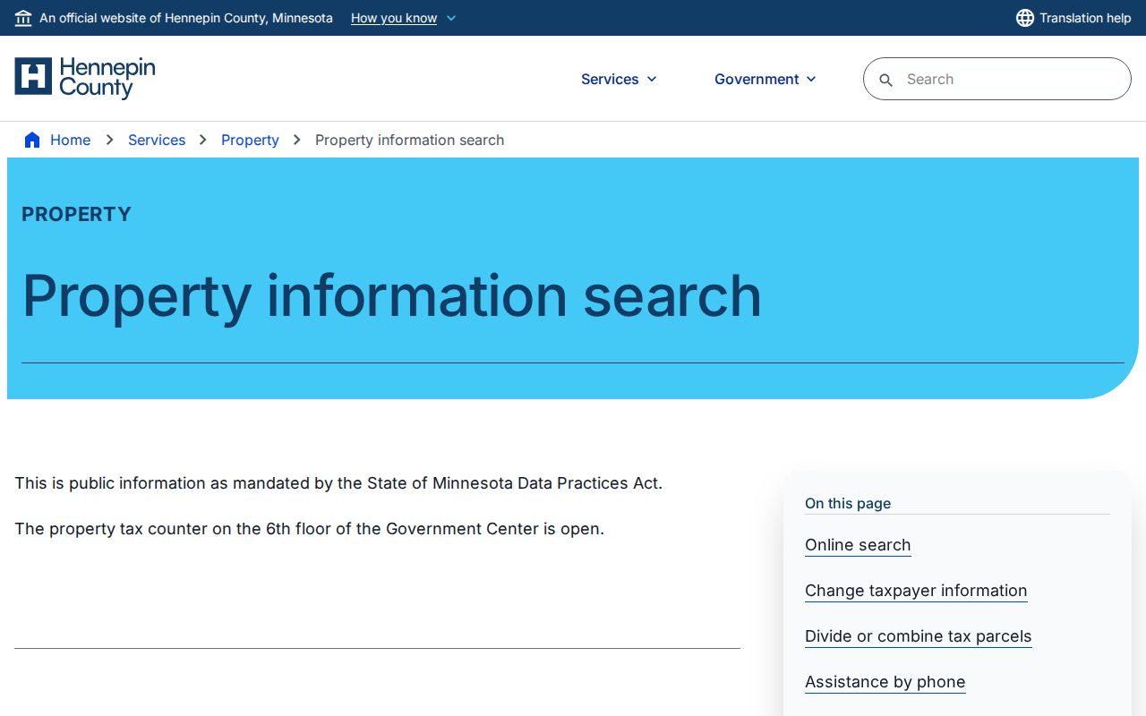
Compare the returned situs address with the mailing line, then use the PID and legal description in GIS and Recorder research to resolve a mismatch.
MNVotes ZIP Code Limits
MNVotes can begin its individual address lookup with a ZIP, but it is not a ZIP-wide voter-roll search. The tool requires an individual’s first and last name, full date of birth, and exact address. In ZIP mode, the ZIP, city or township, house number, and selected street are required; a checked apartment or unit option requires a unit. The system updates nightly, and a recently processed registration may take time to appear.
| MNVotes field | Required or conditional | Limit for ZIP research |
|---|---|---|
| First and last name | Required | Identifies a specific person rather than a ZIP population |
| Full date of birth | Required | Cannot be replaced with a ZIP or city filter |
| ZIP code | Required in ZIP mode | Begins the address route, not a ZIP-wide output |
| City or township | Required in ZIP mode | Helps resolve the address within the postal area |
| House number and selected street | Required | Requires an exact address match |
| Unit number | Required only when the unit option is selected | Needed to distinguish qualifying unit addresses |
Under Minn. Stat. §201.091, public voter information has limited permitted uses. A bulk request uses a separate certified form, a defined geography, and a fee. It is available only to a registered Minnesota voter for elections, political activities, or a law-enforcement inquiry. Do not use an individual status check or a bulk request as a general ZIP directory.
Note: A registration match answers a current status question and does not establish an address history.
Golden Valley ZIP Code City Boundaries
ZIP boundaries and Golden Valley city limits do not match. A ZIP-only result can include Crystal, Robbinsdale, New Hope, St. Louis Park, Minneapolis, or other nearby jurisdictions. Conversely, a Golden Valley address may carry a Minneapolis city line. Where a result has only city and ZIP, retain that original text and seek a second source with a street, parcel, precinct, or municipality field. A matching street address with a different PID can indicate a split, combination, replat, or numbering change.
- ZIP code
- A Postal Service delivery area, not a legal city or county boundary.
- ZIP+4
- An added delivery segment used with a base ZIP; it does not identify a municipality by itself.
- PO Box ZIP
- A ZIP used for post-office-box delivery; verify the street location separately.
- Unique ZIP
- A ZIP assigned for a single organization or delivery purpose; no such Golden Valley assignment was established in the research.
- Carrier route
- A mail-delivery grouping that can cross neighborhood or city lines and is not a parcel boundary.
Golden Valley Roads in ZIP Searches
Road history can explain a failed postal or parcel search. City transportation material identifies Watertown Road as the present Golden Valley Road and documents the Luce Line, Highway 12, Highway 55, Highway 100 or Belt Line and Lilac Way, and Highway 169 as part of the area’s route history. A current road name may also continue into a neighboring jurisdiction, so a city label is weaker than the full address and PID.
For an older newspaper, directory, or map, search the current street form and the historic variant. Then compare any result with the legal description, addition, lot and block, or recorded plat. No official citywide street-number renumbering event was located, so a number change should be treated as unresolved until a custodian or original record supports it.
Golden Valley ZIP Code Stable IDs
ZIPs are useful discovery fields, but they are not the strongest identifiers in a Golden Valley records trail. The Hennepin PID, recorded legal description, plat and lot or block, permit number, and archival item identifier hold their meaning better across address spelling changes and shifting city labels. For land history, follow the PID to the legal description, then use that description in RecordEASE or at public Recorder kiosks. Hennepin’s online recent recording display covers only the last five years and may be incomplete.
For city-held material, identify the address, PID, record type, and date range in a focused request. Golden Valley accepts Minnesota Government Data Practices Act requests through an online portal, email, mail, or fax. The City Clerk or department designee can identify a public portion, a redaction, or the statutory basis for a withholding. A narrowly described request is more likely to reach the correct permit, planning, engineering, or public-works record series.
Note: Request existing records or fields, because Chapter 13 does not require the city to create a new compilation.
Golden Valley ZIP Search Confidence
Label each finding by what it can actually establish. A USPS response establishes a delivery format at the time of lookup. A county parcel page supplies current assessment and tax context. A GIS polygon offers spatial reference. A deed or Torrens memorial is the stronger land-record source for legal description and recorded interests. A city directory is a dated printed occupancy lead. These records become stronger together when their dates and identifiers agree.
Public sources also have real limits. Protected addresses, private identifiers, and data safeguarded through programs such as Safe at Home must not be reconstructed. Use a ZIP-based search for a defined address or records question, retain a source log, and stop rather than attempting to turn a broad mailing area into personal contact information.