
Golden Valley Neighbors by Block
The records around a Golden Valley address are distributed across county, city, state, and historical sources. Hennepin’s parcel map helps identify the nearby parcels and road pattern. The property search connects an address to a PID and other public assessment fields. City material is address-keyed for permits and planning, while library volumes preserve historical address leads. MNVotes has a narrow individual-registration function, not a block roster. Published neighborhood sources identify civic programs and group names, but they do not convert a program listing into a list of participants.
| Block source | What it can show | Access route |
|---|---|---|
| Hennepin Property Map | Parcel polygons, roads, adjoining parcel context, and a parcel-to-PID route | Browse, zoom, and select; exact layers require browser confirmation |
| Hennepin property search | Public address and tax fields for a selected parcel | Search each address or PID |
| Golden Valley project records | Address-keyed permits, planning, hearings, inspections, and public records | ePermits from 1995 or a narrow request for older material |
| Minnesota voter tools | Individual registration match or lawfully requested voter-list fields | MNVotes requires name, birth date, and address; bulk rules apply |
| City civic sources | Neighborhood Watch program material and published Community Visioning names | Public pages; participant details are nonpublic |
| HCLIB directories | Dated occupant or business clues for an address | Golden Valley digitized volumes cover 1951 through 1981 |
Displayed property fields describe a parcel, not an entire household. Use a public record’s date and purpose as part of the result. A value that does not line up with the address, PID, legal description, and source date needs further checking, not a guess.
Mapping Golden Valley Neighbor Parcels
Hennepin County Property Map is a reference map, not a legal survey. Start with one verified street address, navigate to its parcel, and use the nearby parcel polygons to identify the immediate block. The research did not confirm every live GIS layer or tool, so do not claim a buffer or layer that the browser does not show. Parcel selection supplies the geographic context needed to move into the county property search.
- Confirm the complete address in the Hennepin property search, then save the selected parcel’s PID and legal description.
- Open the map, locate that parcel, and note the surrounding parcels, streets, and visible road context.
- Select each nearby parcel in turn and compare the map position with a separate address or PID search.
- Keep the PID and legal description with every note, then use Recorder research only when a recorded land document is needed.
A PID is the county’s stable property identification number. A legal description is the recorded land description, often using a plat, lot, block, or other land-reference language. The street address is convenient, but a replat, lot combination, or changing city label can make it less stable than those two keys.
For a full named-street chain rather than the immediate block, use the Golden Valley street address directory. That work involves a broader address sequence and should not be inferred from a single map view.
Golden Valley Neighbor Parcel Records
Hennepin’s Property Information Search accepts an address, a 13-digit PID, or an addition search. The address form requires a house number and street, permits an optional unit, and documents no owner-name search mode. Addition search can use an addition name with lot and block fields. The public portal is updated on business nights, but it is an assessment and tax source, not a deed index.
When a Golden Valley block result needs land-record confirmation, take the PID and legal description to Hennepin Recorder research. The county’s RecordEASE routes are strongest by legal description or an individual or entity name. Recent recording history is a five-year convenience display, and the earliest online deed-index year was not published in the research. For older history, use the Recorder’s public kiosks or ask the custodian about the appropriate index, certificate, or plat.
Note: A parcel map can support location research, but a recorded instrument controls the legal description for a title question.
Golden Valley Neighborhood Records
Golden Valley Community Visioning publishes an inventory of civic and neighborhood names used in planning. Angelo Drive, Hidden Lakes, Idaho Avenue, Julianne Terrace, Kelly Avenue, and Scott Avenue Neighborhood Watch appear in that public material. These are useful search terms for meeting notices, planning references, newsletters, and historical context. They are not a current membership roster, boundary proof, or a way to identify private contact details.
Community Visioning groups
Use the published Angelo Drive, Hidden Lakes, Idaho Avenue, Julianne Terrace, Kelly Avenue, and Scott Avenue Neighborhood Watch names as civic-planning and archival search variants.
Historical Society
The Golden Valley Historical Society is a local-history organization with a museum and public collection contact, not a neighborhood membership directory.
Community organizations
City engagement material names the Community Foundation, Garden Club, Market in Valley, and Beyond Yellow Ribbon Quad Communities for public programs and dated publications.
The Community Visioning page is shown here because it supplies the public group inventory used for Golden Valley neighborhood context.
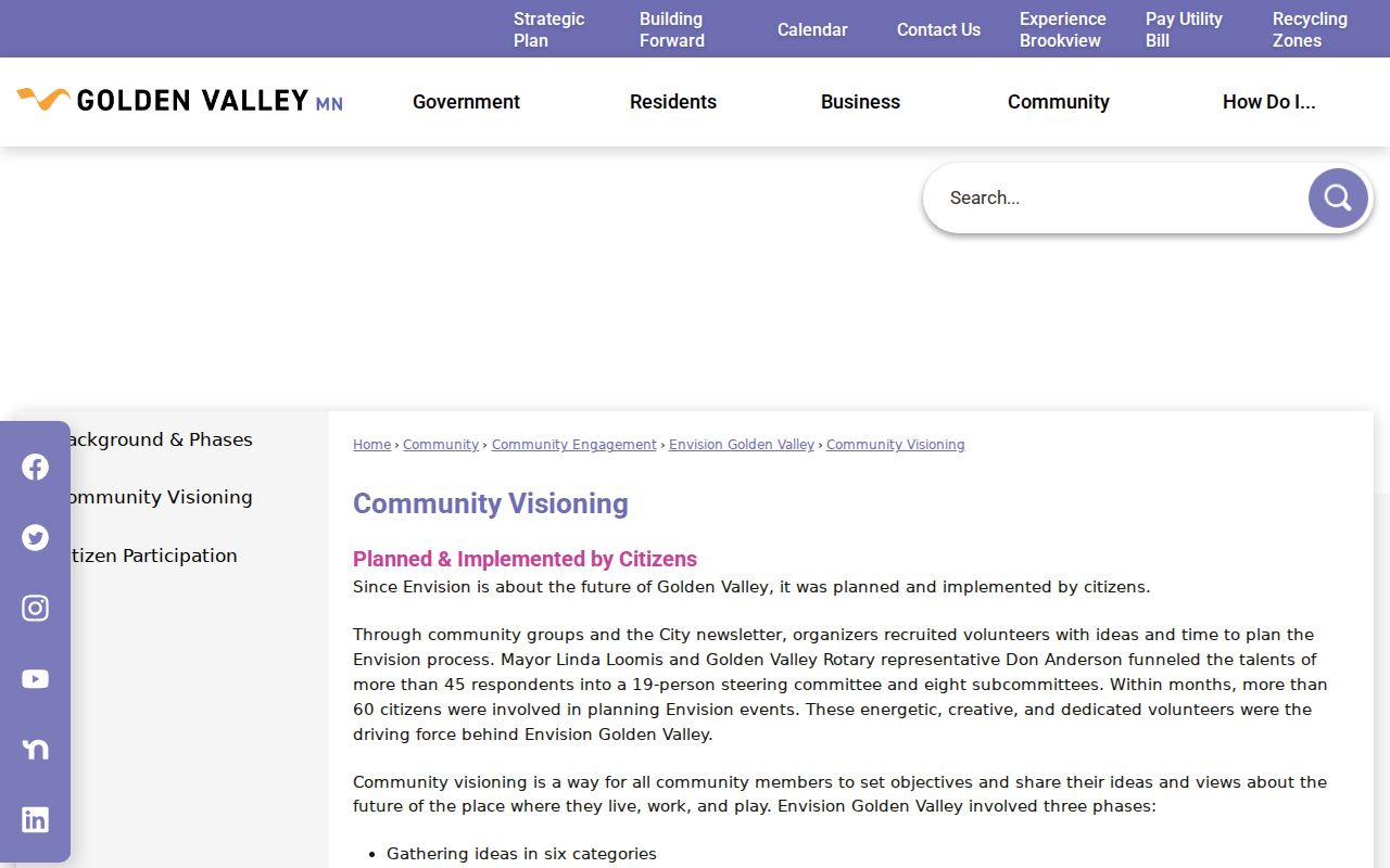
The image supports a search for published civic names while preserving the distinction between a planning inventory and private participation information.
Golden Valley Watch Program Boundaries
The city’s Neighborhood Watch program describes zones, block-captain structures, signs, and voluntary block maps. It is a public safety program, not a source for participant names. The city states that personal information provided by participants in a crime-prevention program is nonpublic under Minn. Stat. §13.37. Ask only for published program rules, aggregate maps, or other releasable material.
For a Golden Valley neighborhood question, log the public program description, zone or map title, contact office, and the date of the page or notice. Do not request or reproduce voluntary contact lists, emails, phone numbers, children or pet details, or a block map supplied by participants. A public meeting or a sign can establish that a program exists. It does not identify everyone involved.
The Neighborhood Watch page is the source for this program description and its privacy limit.
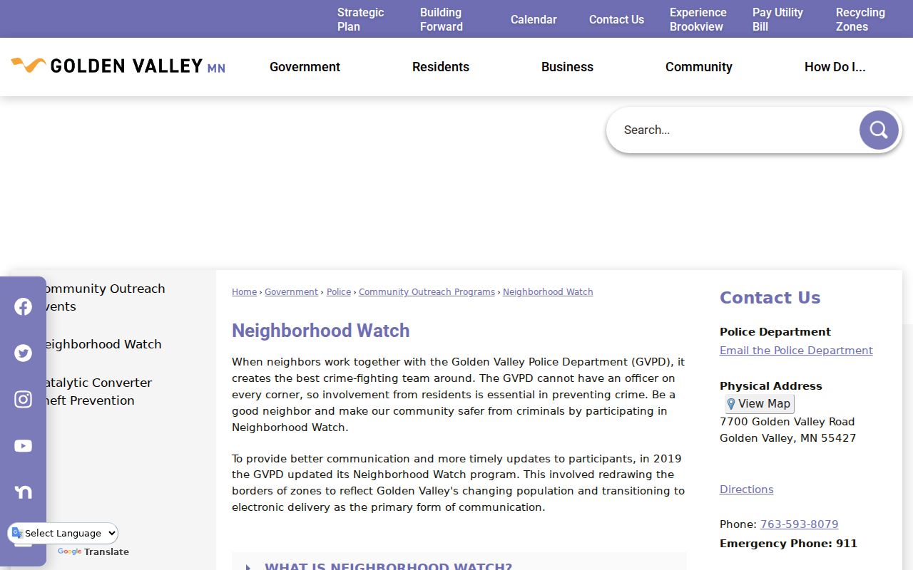
The captured page helps separate public program material from the protected information that a watch program may collect voluntarily.
Golden Valley Neighbors in Directories
Historical directories add time to a block search. Hennepin County Library’s digitized Golden Valley collection has a published run from 1951 through 1981, and the ResCarta controls can filter by subject or city, publisher, place, and year. A directory entry may show a resident, occupation, business, spouse indicator, and street address. It is a printed snapshot, not proof of title, present residence, or uninterrupted occupancy.
Search an address in nearby years, then test the surname and nearby addresses. Golden Valley may appear under Minneapolis or another nearby city label in publisher territory, so retain the printed city line and compare it with the street and PID. Road variants matter too: Watertown Road is the documented earlier name for Golden Valley Road. When a directory hit needs a historical source citation, record the volume title, publication year, page image, page number, and image URL.
Hennepin County Library Special Collections also supplies yearbooks, clippings, maps, photographs, and web archives. Those sources can place an institution or address in context without establishing who belongs to a current group.
Golden Valley Neighbor Voter Records
MNVotes checks an individual registration only when the full name, complete date of birth, and address are already known. Its address route begins with either ZIP or county, then requires city or township, house number, and a selected street. A unit field becomes required when relevant. The tool is updated nightly, but a result is not a residence-history record and it is not a ZIP-wide or block-wide list.
Minn. Stat. §201.091 makes defined voter fields public but restricts the public information list to elections, political activities, or a law-enforcement inquiry. A lawful bulk request requires the state’s registered-voter-list form, registered Minnesota voter certification, a permitted purpose, one selected geography, format choice, payment, and the required delivery process. The form lists $30 for a city, county, ward, precinct, or other listed local geography, and $46 statewide. Do not infer political preference from any permitted field.
Note: Use the smallest permitted geography for an authorized request and keep its certification with the resulting record.
Golden Valley Block Record Requests
A project or historical block question may need city-held records that have no public index. Golden Valley’s Public Records Request portal accepts Public Data, Data on an Individual, and Police Data categories. The ordinary public-data route can be submitted anonymously, although an anonymous request cannot be used when the city must verify identity. The city policy also permits a Chapter 13 request by email, mail, or fax.
Describe the existing record narrowly: name the address or PID, city department, record type, and date range. For example, a request can seek an address-keyed planning packet, permit file, hearing notice, or council material. Ask to inspect or receive copies, and request the public portions after redaction if needed. Do not ask the city to compile a list of households or to create a new report it does not maintain.
Golden Valley Neighbor Privacy
Golden Valley neighbors are not a public directory category. Minnesota Safe at Home protects designated addresses for people who fear for their safety, and those addresses must not be reverse-engineered. Chapter 13 classifications, court-access rules, vital-record eligibility, and the federal Driver’s Privacy Protection Act also limit what can be obtained or repeated. Remove full birth dates, signatures, personal contact fields, protected addresses, victim information, and details concerning minors from any research notes not needed for the record question.
| Official block record | Commercial neighbor category | What to verify |
|---|---|---|
| Shows a defined custodian, date, field set, and access limit | May combine records with marketing and purchased data | Check the primary source and the record date |
| Parcel, permit, or civic-program scope is stated | Profiles can join similar names or stale addresses | Do not treat a compiled profile as proof of a household |
| Protected data remains restricted | Does not override Safe at Home or voter-use rules | Use the lawful custodian route for restricted material |
Lawful use. Use Golden Valley block records for a specific, lawful question and respect every protected-data notice. Stalking, harassment, intimidation, or repeated unwanted contact can violate Minnesota law.